
Activated: 2017-01-03
SOTA activating has a lot of glorious moments. DX with five watts, successfully testing a new antenna, meeting good friends on-air, and more. This peak was not one of those moments . . . .
Hiking Black Mountain is a bit like taking a girl home from the bar who you have serious doubt about. In short, you shouldn’t, but if you do then by the time you realize your mistake you’ll just have to hold your nose and see the deed done.
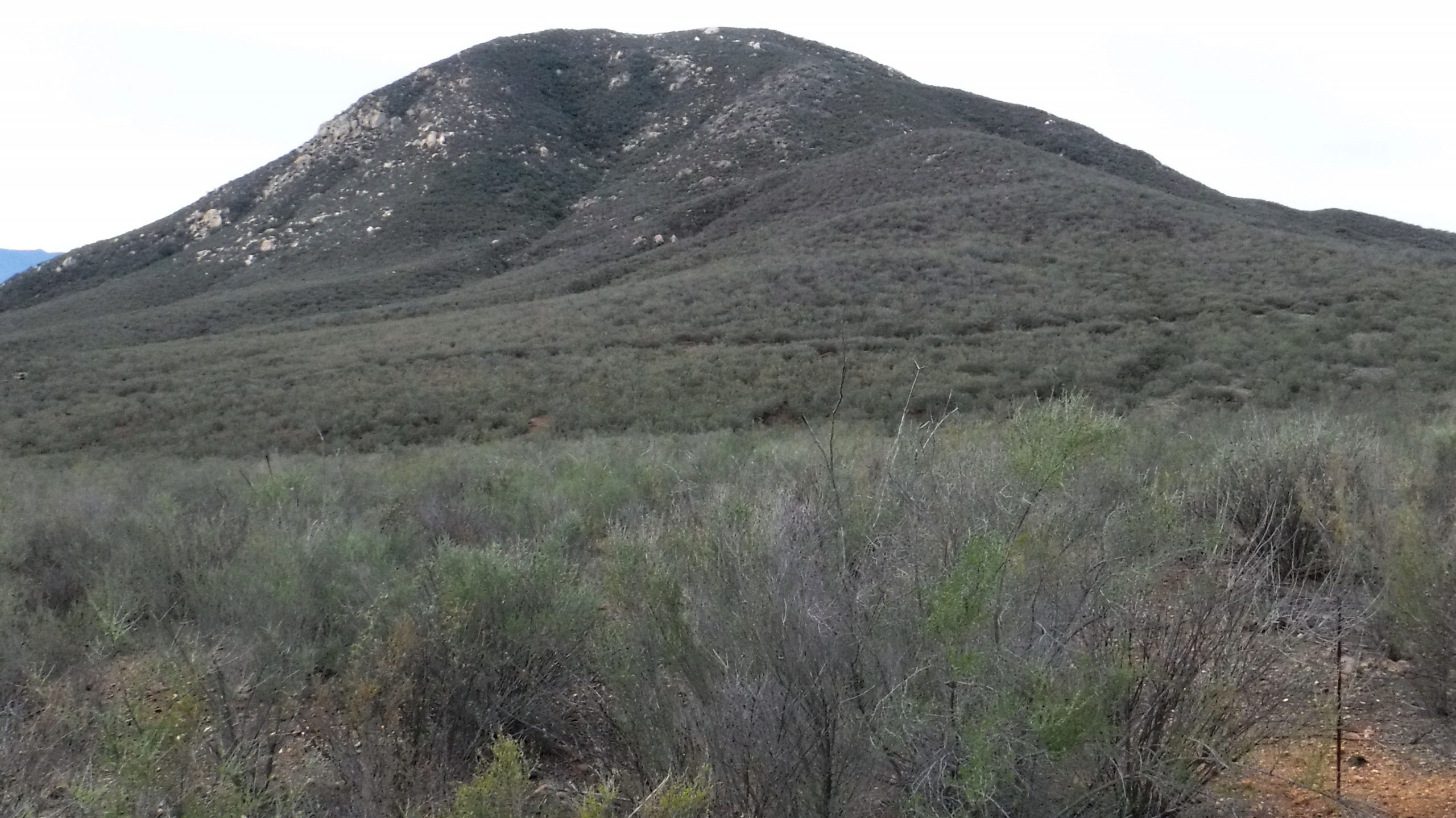
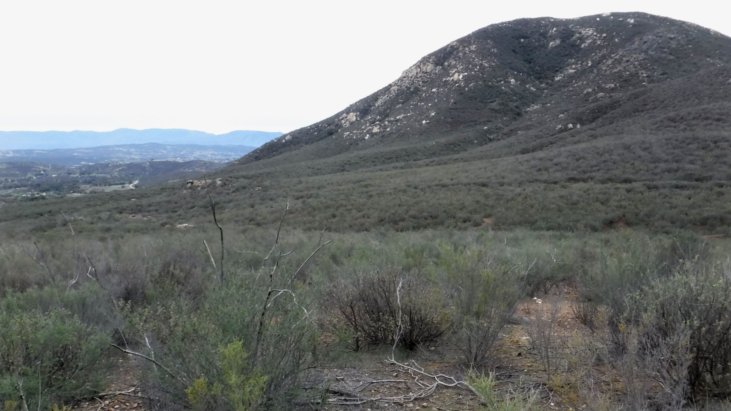
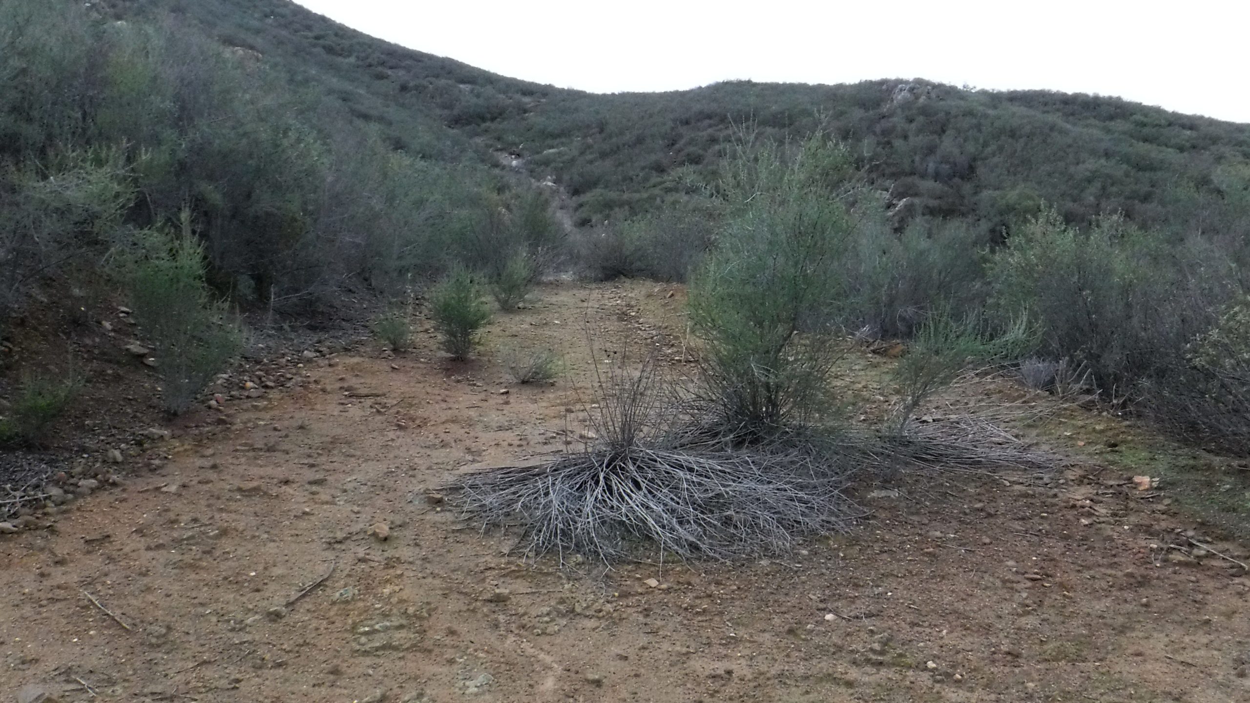
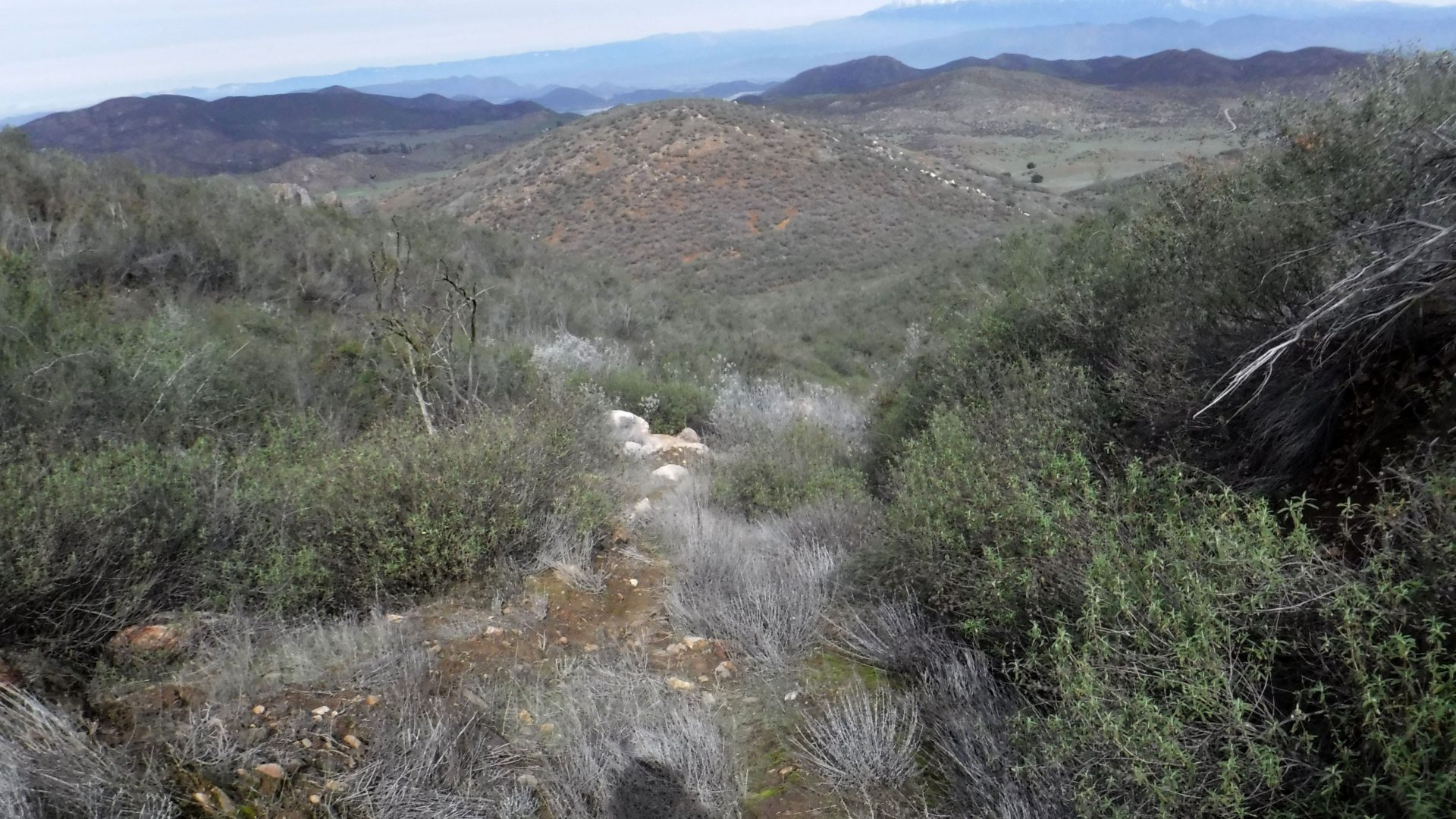
What made this peak so unpleasant was “trail” to the top. It is a series of old roads and horse trails that are now mostly taken over by heavy, scratchy brush. The brush grabbed at gear, clothing, and faces all the way up and down, leaving me feeling like I had been scrubbed by steel wool for the previous few hours.
I would be very interested to find out what used to be out here when these roads were built. There are no dwellings or ruins that I saw – just a series of old roads and trails.
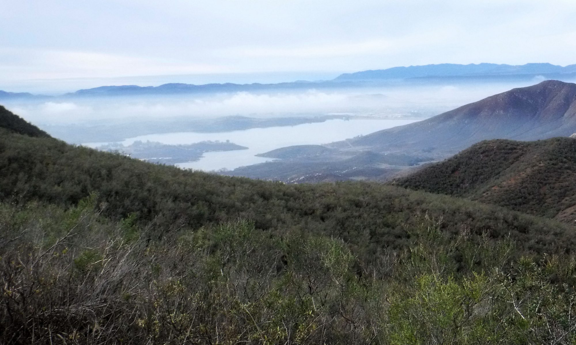
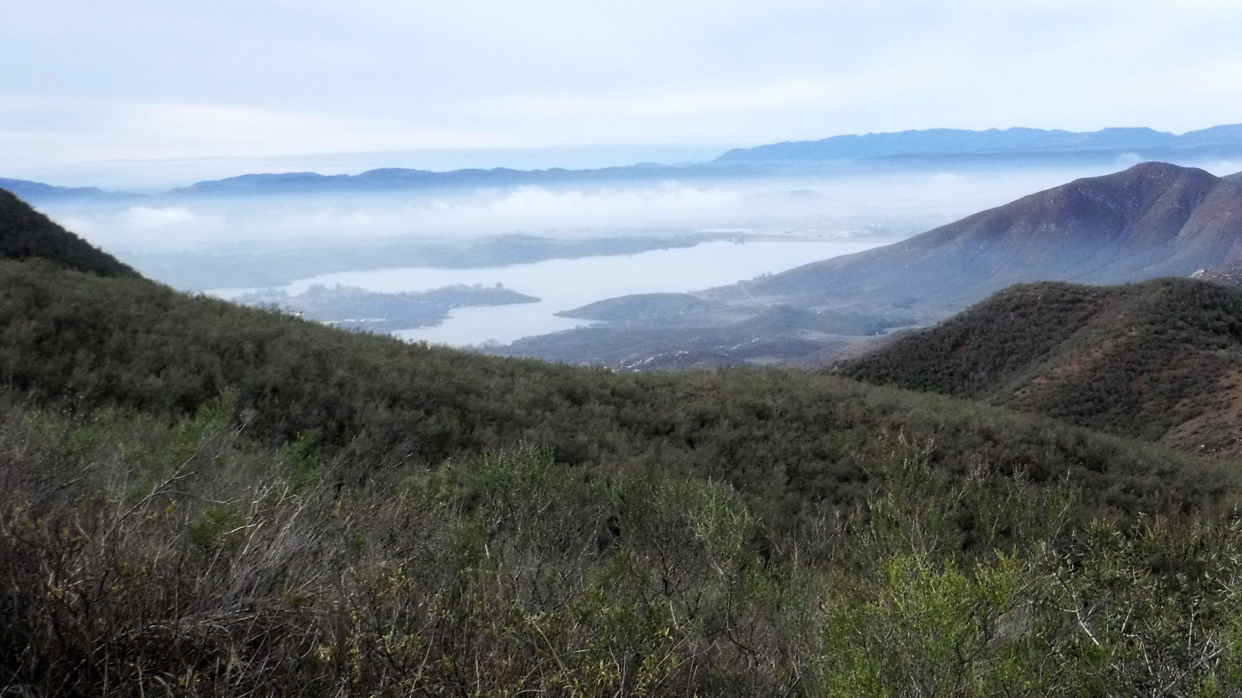
You basically follow fragments of trail and road counterclockwise around the mountain until you start losing altitude. At that point you have to do a hard left (to the east) and go cross-country to the top. The saving grace of the route is that the views are quite pretty once you begin to gain some altitude.

Once you start the final approach things get ugly quickly. You have to crawl and thrash your way through the scrub brush. I came away with more than a few scratches. The funny part of the hike was when I got to the top and realized that the brush had “stolen” my camera right out of my shirt pocket. (Hence, no photos of the activation.)
The activation went well though. With a spot out on the net I had a few chasers on VHF and quickly had a bunch of contacts in the log. On the way down the hill I even located my camera – still hanging by it’s strap from a particularly hairy bit of brush.
They can’t all be beautiful mountains and picturesque hikes. Sometimes you just have to cover your eyes, hold your nose, and plow on in. And apply some ointment afterwards . . . .
updated 2022-05-14